Lyndale Drive Park South
Lyndale Drive Park South is a long greenspace running along the east shore of the Red River, running from Highfield St in the northwest to Gauvin St in the southeast.
A long trail runs along the riverbank, offering a view of the Red River and Osborne Village / Riverview skyline.

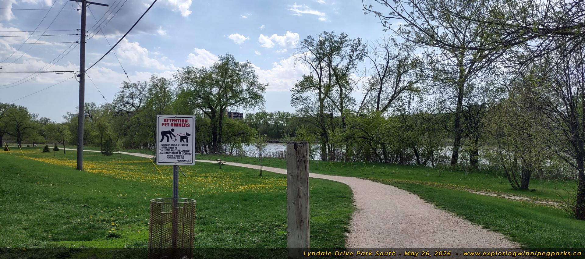
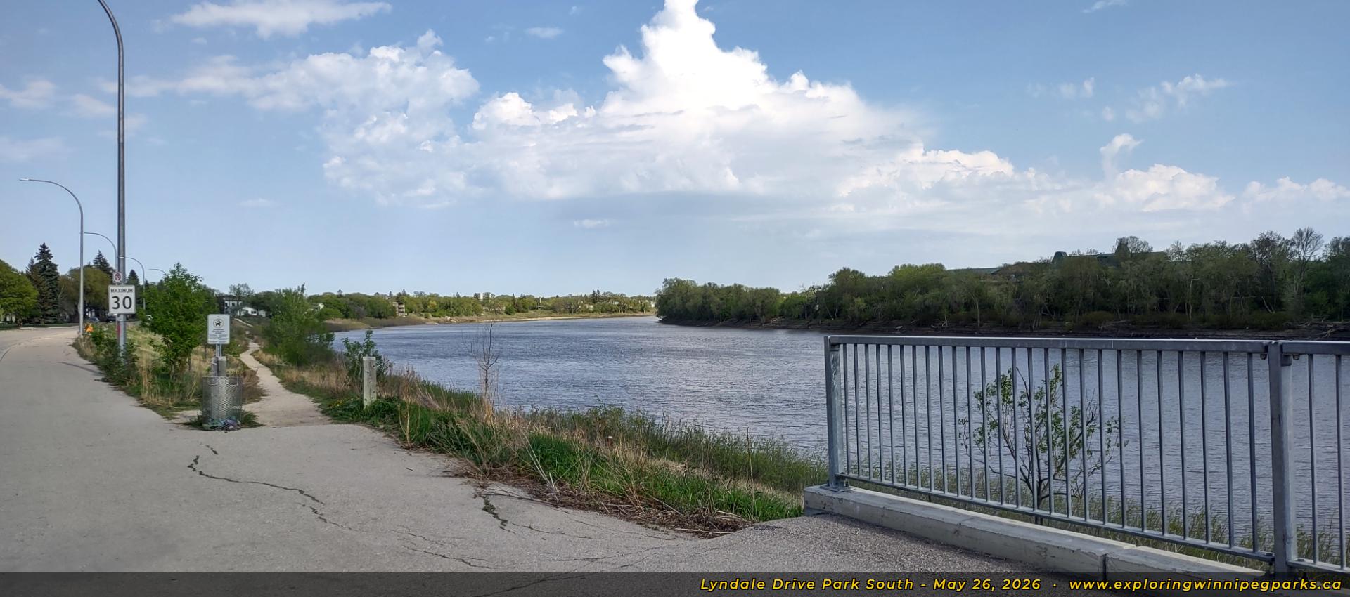
Welcome to Lyndale Drive Park South! A pathway off Lyndale Dr, near Balsam Pl, marks the beginning of a long trail winding alongside the riverbank. Facing southwest.

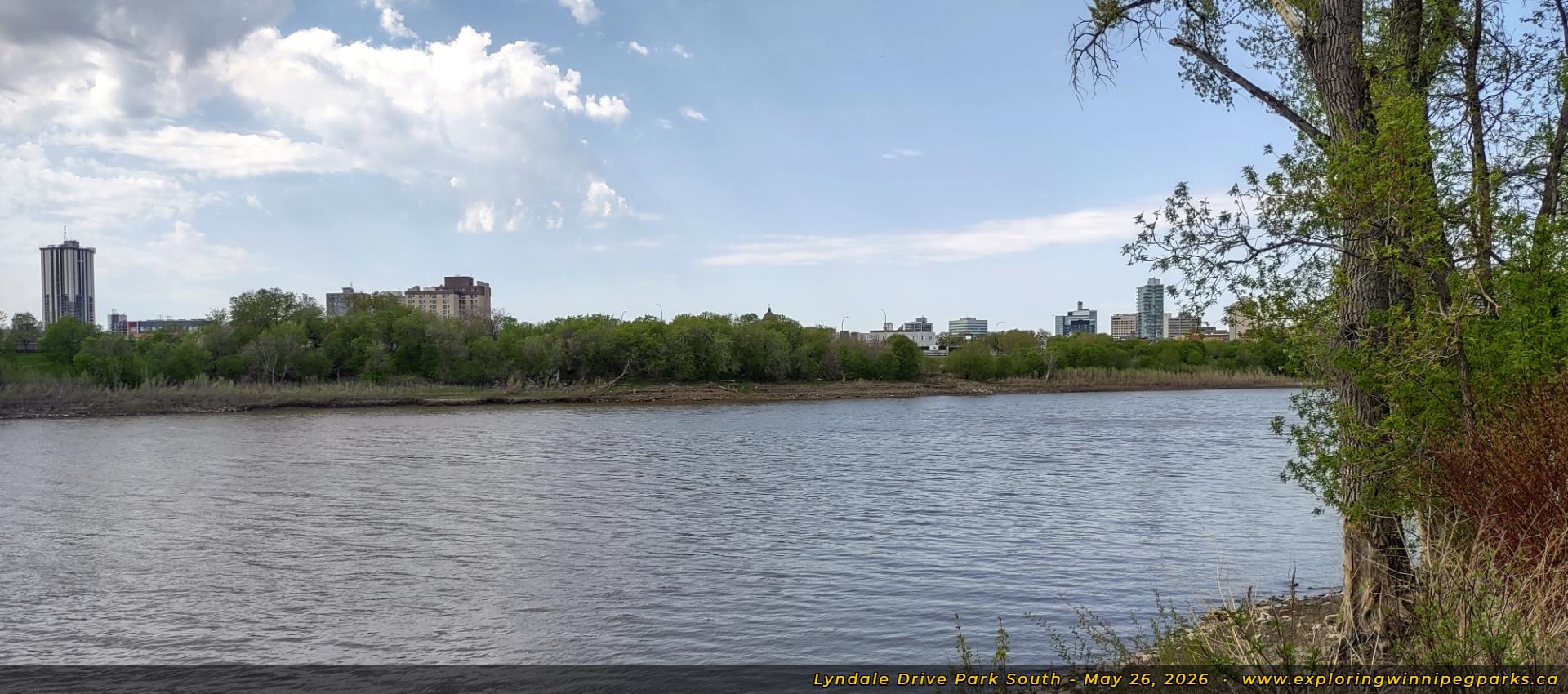
The Osborne Village skyline is visible on the opposite shore of the Red River, in this view from the northwest corner of the park. Facing northwest.

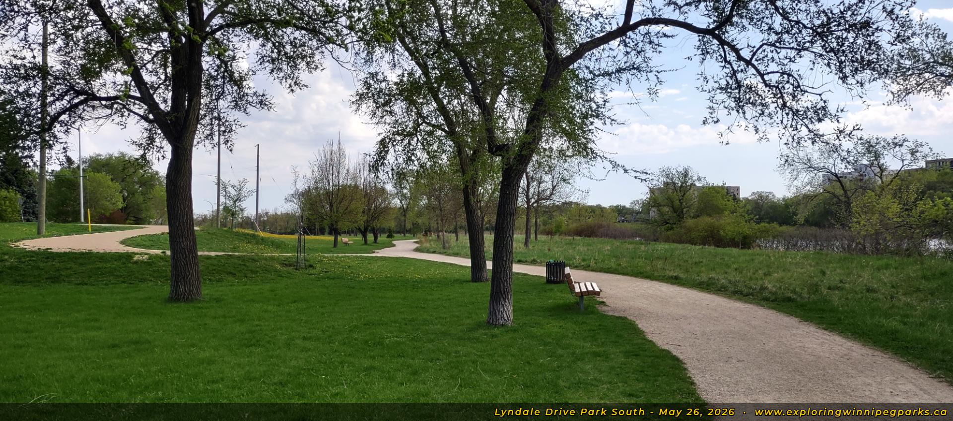
Plenty of benches line the pathways in this view near the northwest corner of the park, facing south.

A pathway off Lyndale Dr, across from Cedar Pl, winds down towards the main path. Facing northwest.

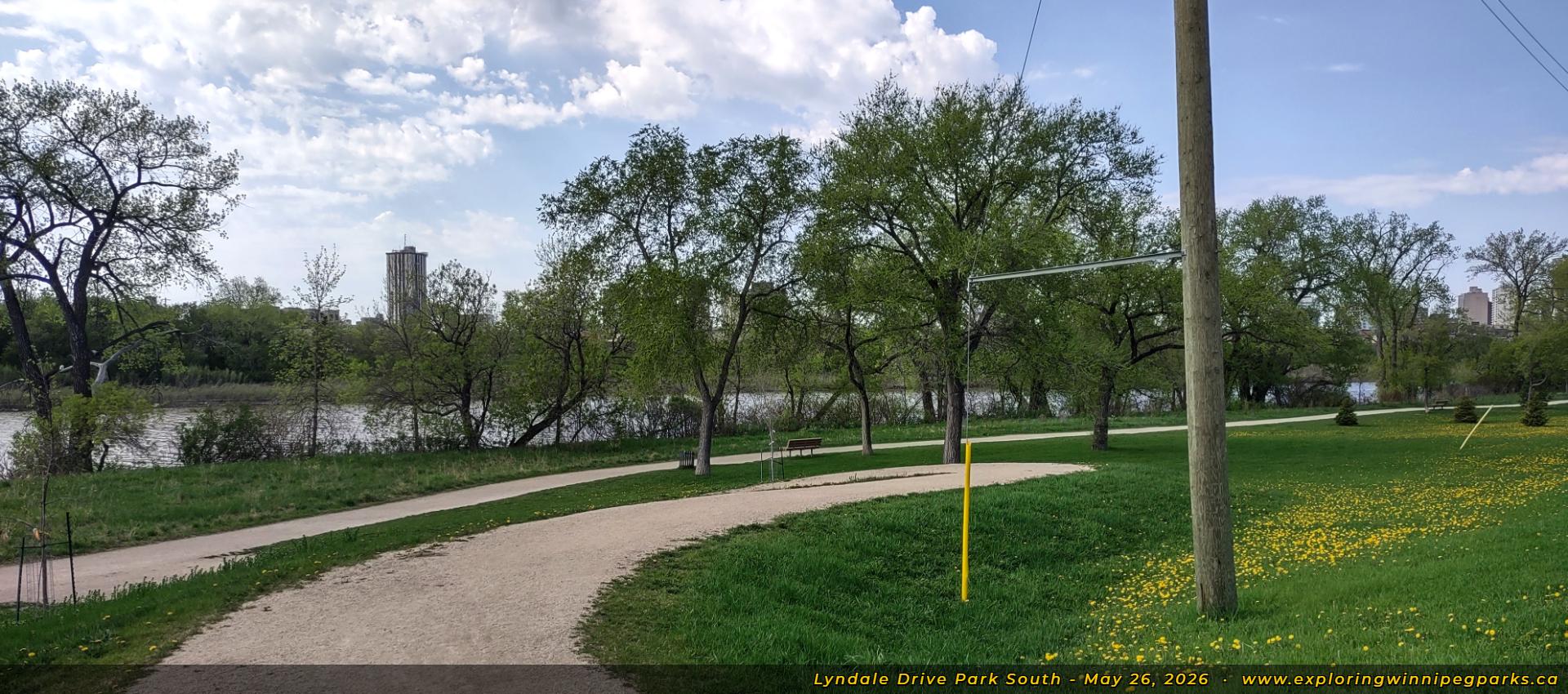
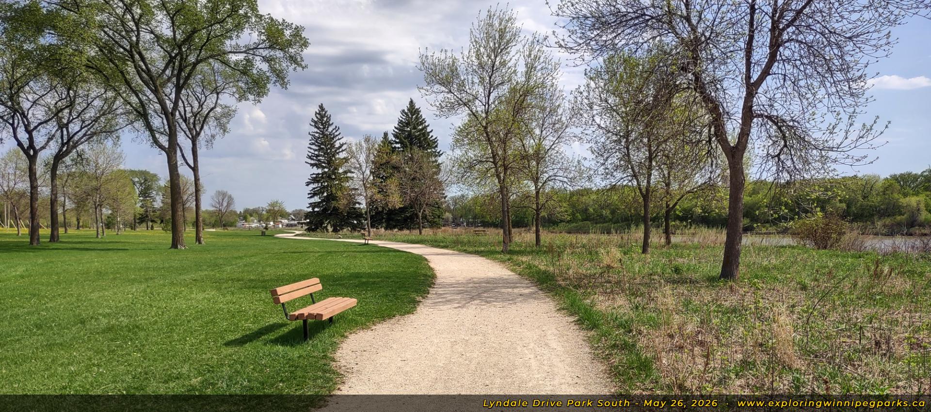
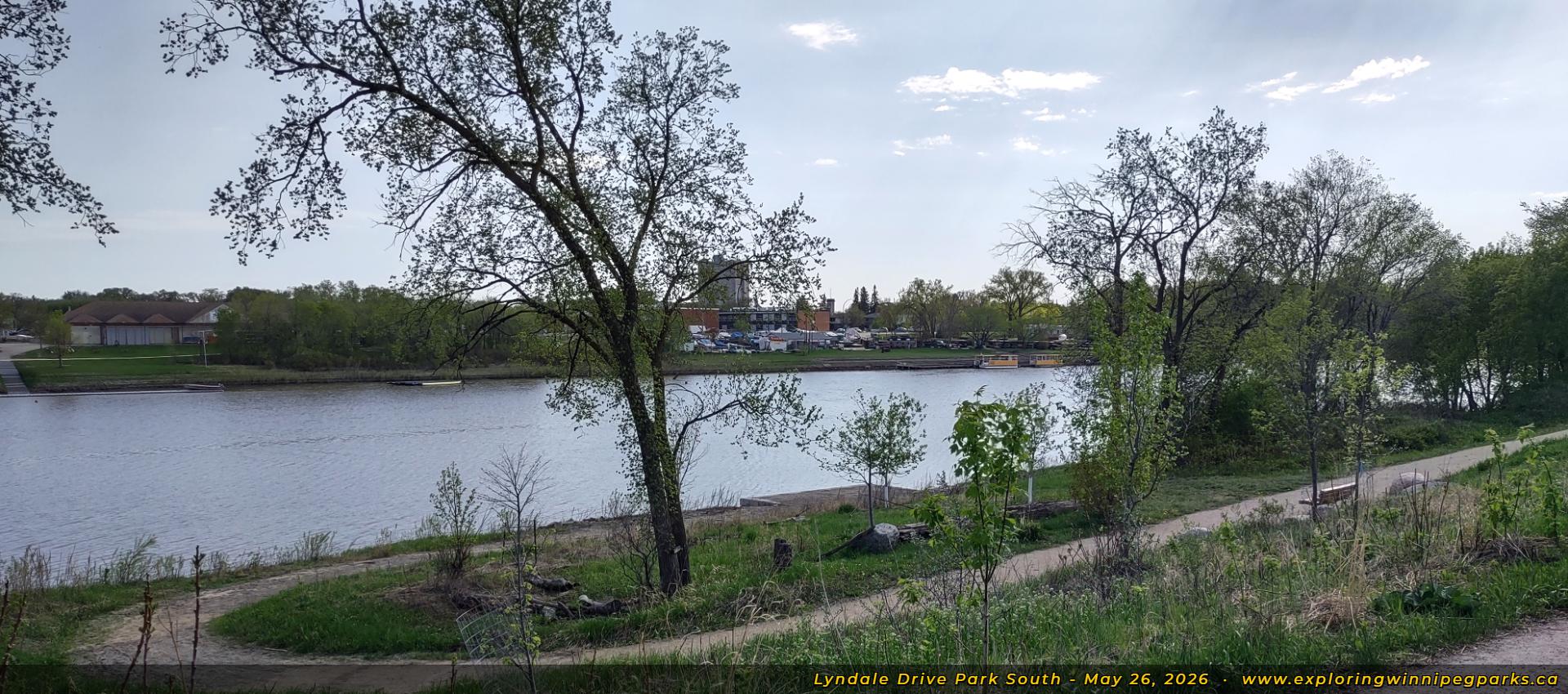
The pathway continues winding along the riverbank to the southeast, near the southwest curve. Facing southeast.

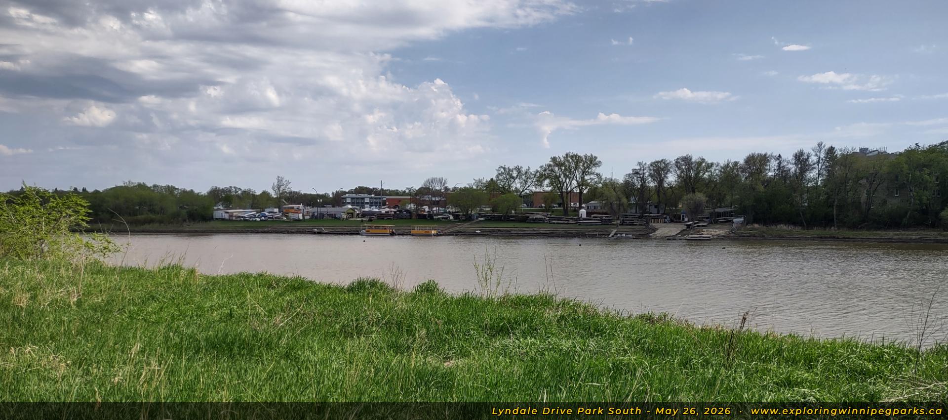
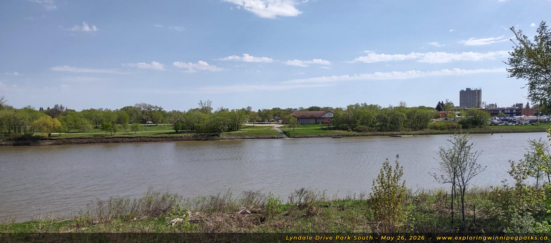
The docks for the Redboine Boat Club are visible on the opposite shore, in this view near the southwest curve of the park. Facing southeast.

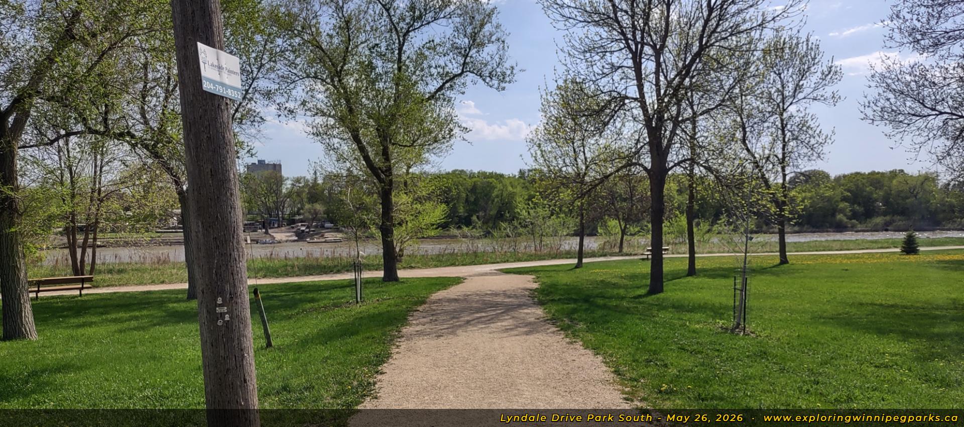
A pathway across from Larchwood Pl heads towards the main path, facing south.

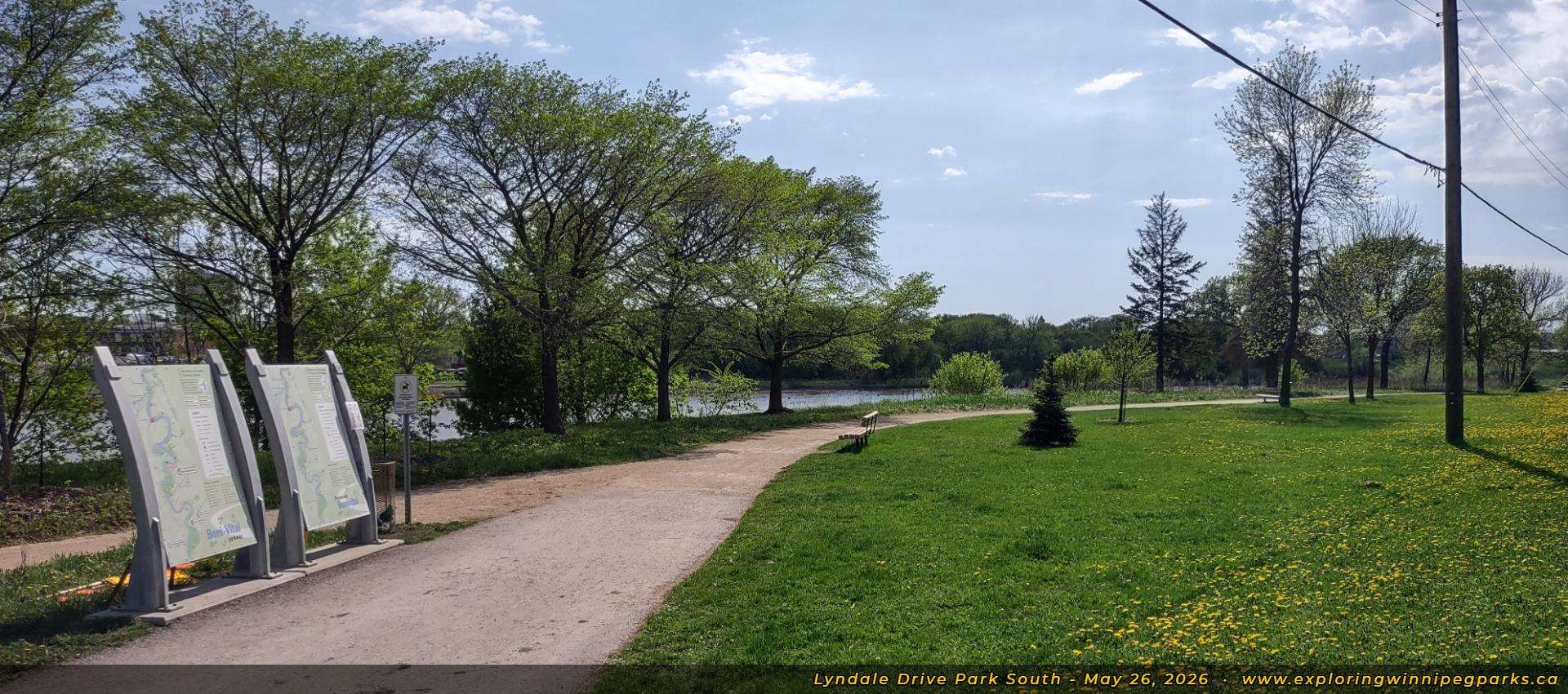
Information panels for the Boni-Vital Parkway are found alongside the pathway entering near Rosewood Pl, facing southwest.

A pathway winds down towards the canoe launch, just east of Rosewood Pl. Facing southwest.

The docks of the Manitoba Canoe and Kayak Centre is seen on the opposite shore of the Red River. Facing south.

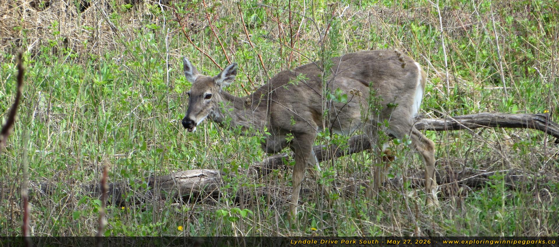
A deer trots along the tall grass just east of the canoe launch.

A trail splits off from the sidewalk just east of Claremont Ave, giving visitors a good view of the Red River. Facing southeast.

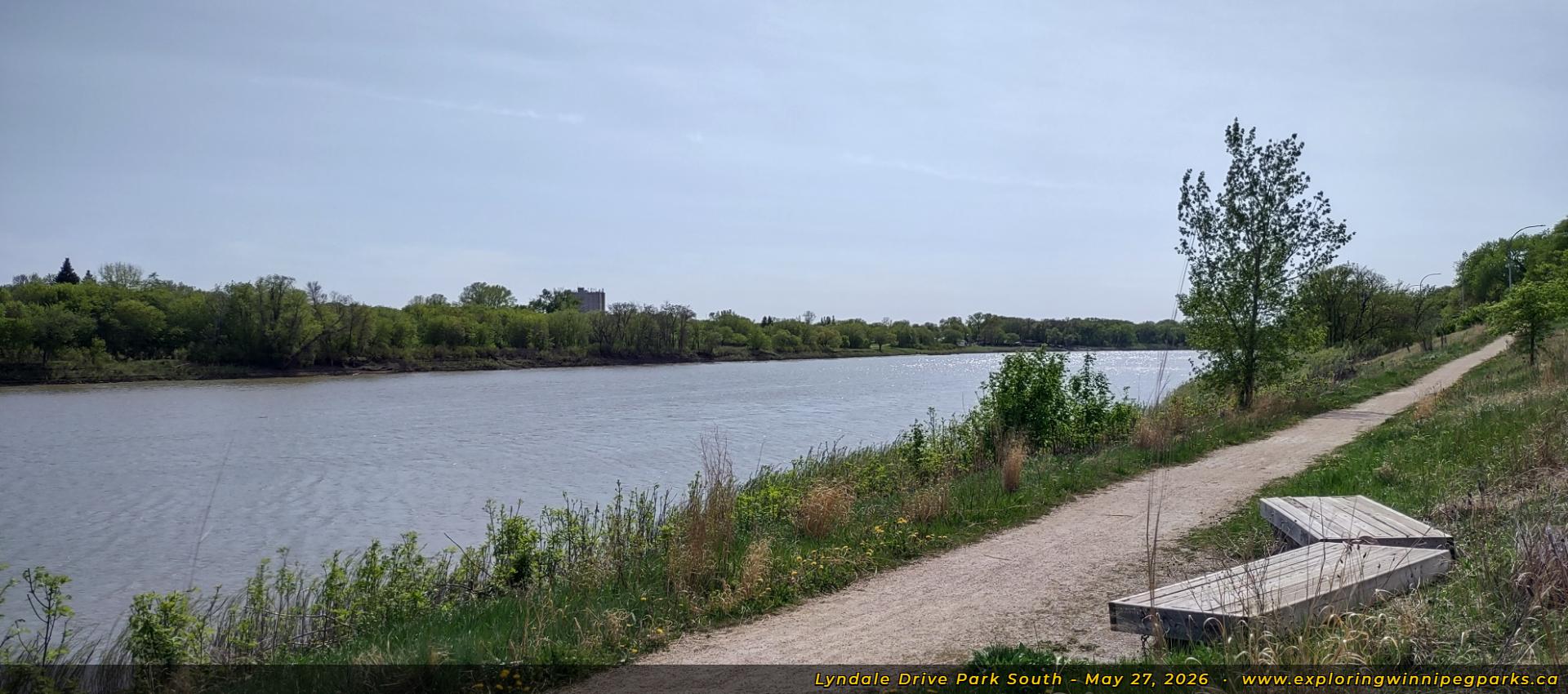
An angled bench sits alongside the trail that runs along the riverbank, just south of Tache Ave. Facing southwest.

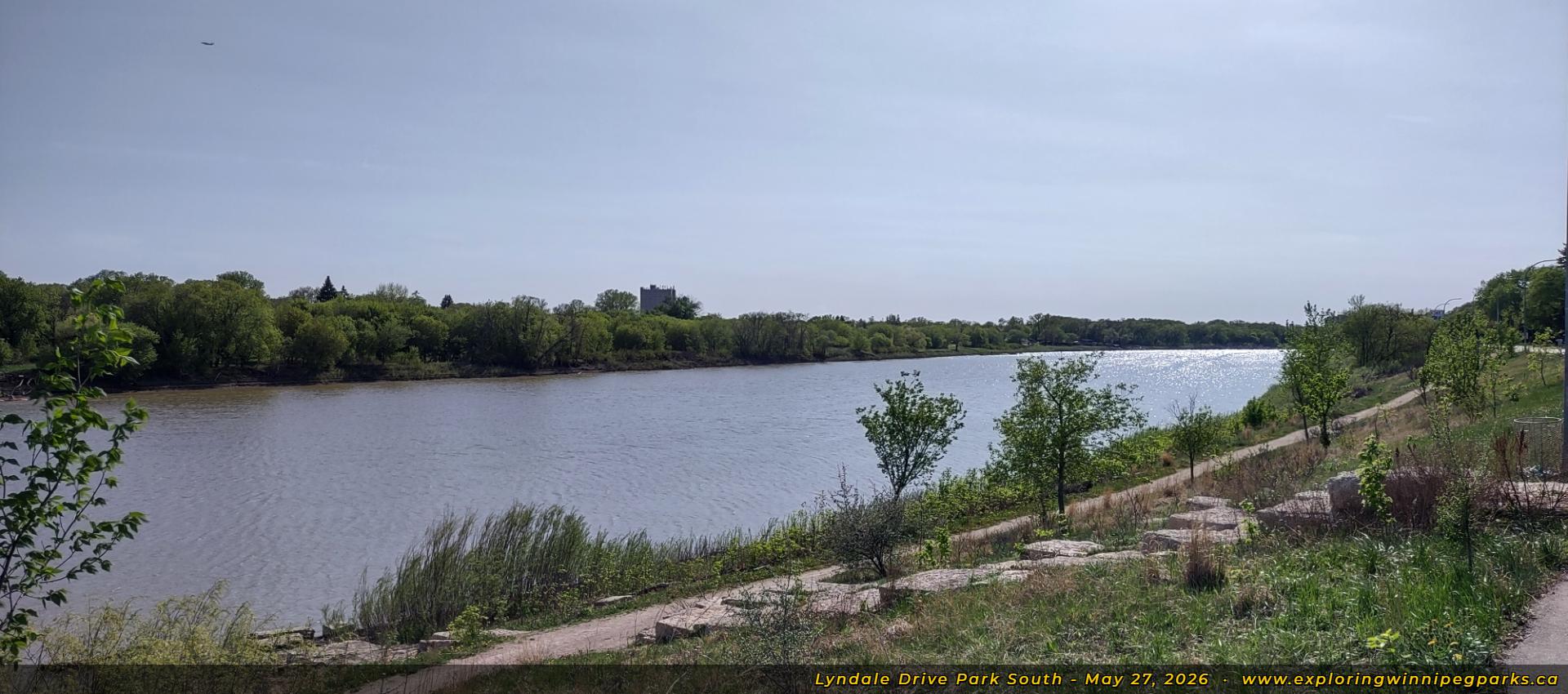
A set of stones makes its way down towards the riverbank across from Crawford Ave, facing southwest.

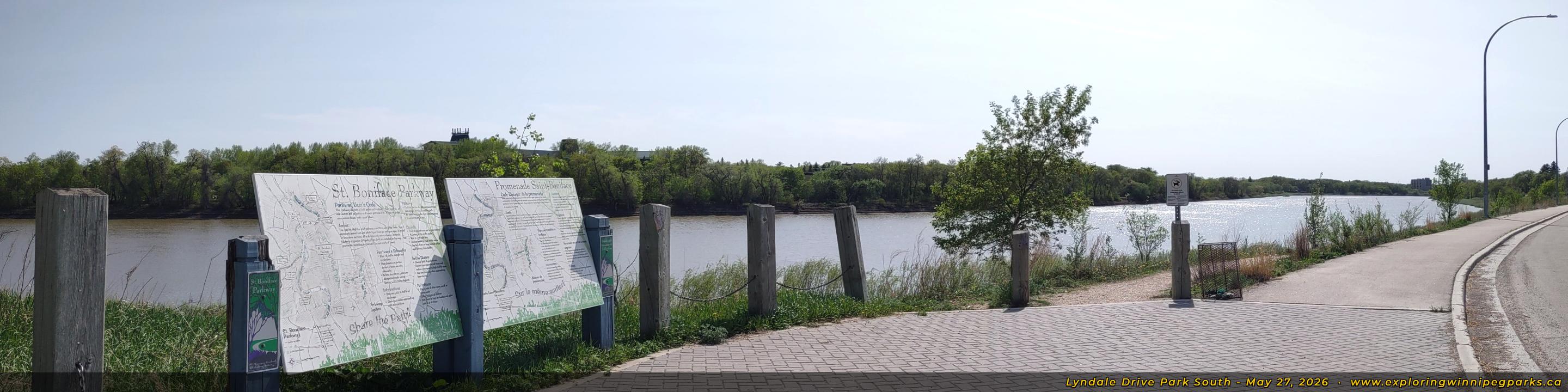
Information panels for the St. Boniface Parkway stand at the far east entrance, just across from Gauvin St. Facing southwest.